
Our Favorite Dayhikes Part I
Throughout the spring, we'll be featuring some of our favorite day hikes in and around Graham County. These will range from a couple miles - perfect for an afternoon - to upwards of ten miles.
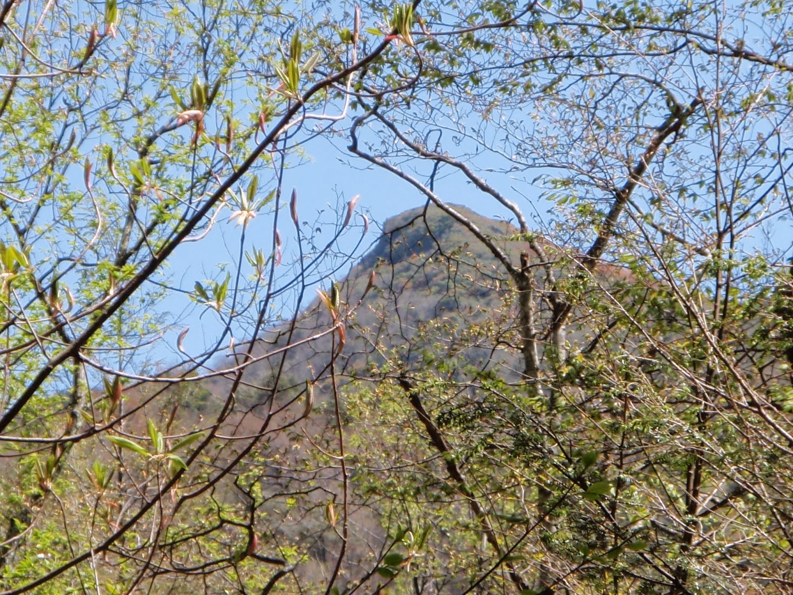
The first hike that we'll cover is a great out-and-back that you could turn into a several night weekend trip. This hike skirts Calderwood Lake north of Robbinsville to where Slickrock Creek runs into the lake.
To reach the trailhead, go north about 11 miles on US 129 from Robbinsville, past Tapoco Lodge on the left. There will be a dirt road to the left less than a quarter-mile past the lodge (if you see Cheoah Dam on the right, you've gone too far). Park where you can at the Slickrock Creek trailhead (spaces may be limited in the summer; you can park across the bridge and walk back though). From here, follow the Slickrock Creek trail (FT 42) as it follows the shore of Calderwood reservoir. The trail gently rises away from the lake and soon you will be winding your way in and out of mountain coves as the trail rises slowly over the next two miles to an overlook several hundred feet above the Calderwood reservoir.
There are many options for this dayhike. My personal favorite is to take the dogs along Slickrock Creek trail to the point where Slickrock creek runs into Calderwood lake, about two miles one way. There are several campsites here that are perfect for a leisurly lunch while the pooches take a swim (I might join in the summer...Calderwood is known for its deep, cool waters). After a relaxing afternoon, we follow the same path back to the car.
Another dayhike option includes following Slickrock Creek trail as it fords the creek, past the scenic Lower Falls to where it intersects Ike Branch Trail (FT 45), a little less than 4 miles from the trailhead. Turning left onto Ike Branch trail will take you up to Yellowhammer Gap where you can stay on Ike Branch trail as it drops back to join Slickrock Creek trail where you can turn right and head back to your car. This loop is nearly 7 miles total length and fords the creek twice, so prepare to get wet.
The Joyce Kilmer/Slickrock Creek Wilderness area provides countless hiking opportunities and is one of the most popular for hiking and backpacking in the area. We will cover more of these and other local hikes in the next few months.
If you are interested in exploring this area, picking up a map at the local Forest Service office or at one of the local gas stations is a must. Another option is a guidebook; my favorite is Hiking Trails of the Joyce Kilmer/Slickrock Creek Wilderness.
A helpful map of the Slickrock Creek trailhead and area can also be viewed here.

Comments
Post a Comment